
FLOOD RISK • EARLY WARNING SYSTEMS • EMPIRICAL DAMAGE MODELLING
What predicts flood damage in cities and do warnings actually help?
Hi, I’m Suwi, a research fellow at Technische Universität Berlin working on urban pluvial flood events. I research which physical, behavioural and institutional variables predict flood damage and whether early warning systems measurably reduce it.
My current work combines Sentinel-1 SAR satellite data with ground-truth damage records in a reproducible Python workflow, connecting physical hazard reconstruction with the institutional and behavioural factors that shape damage outcomes.
About
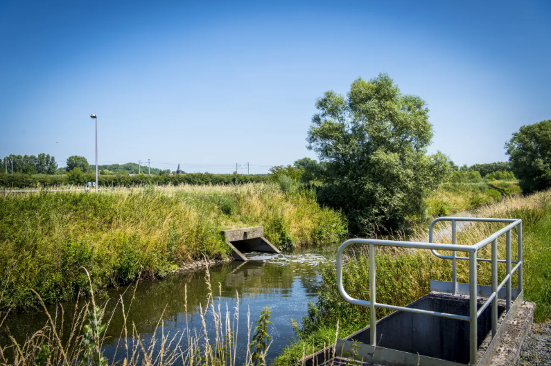
Floods are where climate change shows up most sharply in cities. That’s where I work.
I’m currently a research fellow at Technische Universität Berlin, where I’m developing an empirical framework to evaluate flash flood damage and the effectiveness of early warning systems in urban pluvial flood events. I combine Sentinel-1 SAR satellite data with ground-truth damage records in a reproducible Python workflow, using multivariate damage modelling and Random Forest, to connect physical hazard reconstruction with the institutional and behavioural factors that shape damage outcomes.
Before TU Berlin, I spent five years in research and advisory roles across EU Horizon, BMBF-funded and GIZ-commissioned programmes, working with universities, UN agencies and a UK water utility in Europe, the Nile Basin, South Asia, the Mekong Delta and Yemen. This included SPS Blue Nile, a BMBF-funded transboundary hydrometeorological forecasting system for floods and droughts developed with WMO as associated partner, where I worked on institutional mapping and on barriers to forecast uptake and translation into early action. I hold an MSc in Environmental Technology (IWRM) from Imperial College London, where my thesis traced how early warning and risk information reached smallholder farmers in the Mekong Delta.
Outside research, I co-founded a circular-economy venture selected at Climate-KIC’s Climathon Zurich and supported through Switzerland’s Circular Economy Incubator.
Selected Projects
🛰 SPS Blue Nile (BMBF, with WMO as associated partner)
A transboundary seamless hydrometeorological prediction system for flood and drought forecasting in the Blue Nile basin, developed with KIT, the University of Potsdam, the Sudan Meteorological Authority, the Ethiopian Institute of Water Resources and WMO as associated partner.
Within this project, I led stakeholder and institutional mapping across the basin, analysed barriers to forecast uptake and translation into early action and contributed to dissemination strategies developed with NBI, ICPAC and WMO.
🌾 Forecast translation in the Mekong Delta (Imperial College London, MSc)
A study examining how hydrometeorological warnings and climate hazard information reach smallholder farmers in the Mekong Delta, tracing the dissemination chain from national meteorological services through institutional channels to end users, and identifying critical gaps in the translation from forecast to early action.
Methods: stakeholder mapping across national, provincial and farmer-association actors; document and policy analysis of national hydrometeorological and disaster-risk frameworks; semi-structured interviews. Conducted in collaboration with GIZ and the Alliance of Bioversity International & CIAT, within the Mekong Delta Climate Resilience Programme.
💧 B-WaterSmart (EU Horizon 2020)
A Horizon 2020 project on water-smart coastal and urban regions, advancing circular resource recovery, reuse, and smart allocation of water resources across European case studies.
Within this project, I led the development of three feasibility and market-uptake assessments for digital water-management tools in Brazil, Cyprus and Israel, combining technical and market analyses with 15+ stakeholder interviews and on-site workshops in target regions.
Focus Areas
🛰 Flood Hazard Reconstruction
📊 Empirical Damage Modelling
⚠️ Early Warning System Effectiveness
Mapping flood extent and depth from Sentinel-1 SAR satellite data, using cloud-based geospatial workflows in Python to reconstruct what actually happened on the ground during urban pluvial flood events.
Identifying which physical, behavioural, and institutional variables predict flood damage outcomes, using multivariate damage modelling and machine learning approaches such as Random Forest.
Examining whether early warning systems measurably reduce flood losses after controlling for hazard intensity, with a focus on the forecast-to-action chain and the institutional and behavioural barriers that shape uptake.
Get in touch
I’m always open to research collaborations, conversations with people working on flood risk and early warning systems and selected applied projects in this space.